After having separated from its mining investment and engineering activities, BRGM is resolutely positioning in the forefront of research and development, to take on the new challenges facing the planet: climate change, environment, risk prevention and the supply of water and raw materials. Its challenge today is to propose practical solutions to meet the sub-surface challenges of the 21st century.
By withdrawing from its activity as a mining investor and transferring most of its engineering work in France to its subsidiary Antea, which was then sold in 2003, BRGM is asserting its research and development role. At the request of the public authorities, it is involved in actions to support public policies, particularly in the prevention of natural and environmental risks and groundwater management.
A priority given to environmental issues
In 1999, BRGM set up a new organisation to better tailor its offer to meet societal needs and better respond to new environmental challenges: groundwater resources, risks, geothermal energy, etc.
The swing towards the themes of the environment and natural hazards was confirmed by a decree of 20 September 2004 which placed BRGM under the triple supervision of the Ministries of Research, Industry and the Environment.
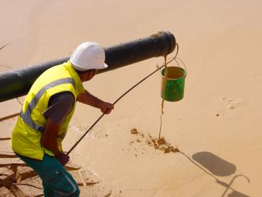
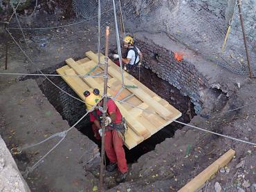
Mining safety: a new mission
In 2006, BRGM was also assigned an "after-mining" role by the Government, with entrusted it with the technical aspects of surveillance and safety work for former mining sites and for the prevention of mine-related risks. It created a special department for this mission, the Department for Mine Safety and Risk Prevention (DPSM).
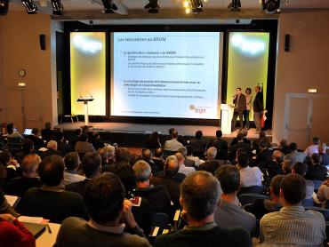
The BRGM Carnot Institute: research for business innovation
2006 was also the year in which BRGM obtained the Carnot accreditation. The BRGM Carnot Institute undertakes joint research with partners in industrial sectors and businesses of every size. The aim is to deliver innovative management solutions for land-use and sub-surface management, raw materials, water resources and the prevention of natural and environmental risks.
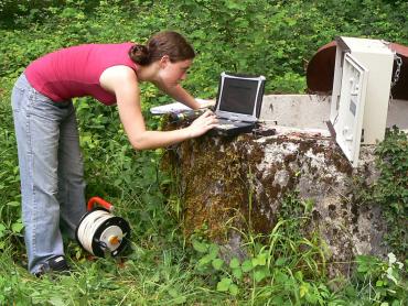
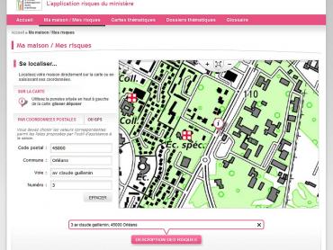
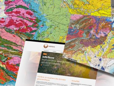
The availability of geoscientific and environmental data
As a producer and manager of sub-surface data, BRGM has made this georeferenced information available to decision-makers and the public. Its databases are available via several websites and portals for the dissemination of geoscientific and environmental data, including the InfoTerre portal.
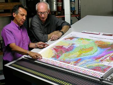
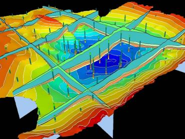
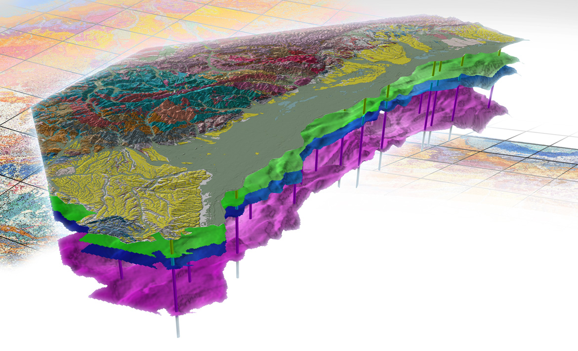
The French geological reference platform, an extension of the geological map
Following the geological map programme, the French geological reference platform (RGF), launched in 2011, aims to provide 3D, digital, homogeneous and coherent geological information for the whole of the national territory. This is a unifying ambition for the geosciences community, whose multi-year programme mobilises the various stakeholders (academic laboratories, companies, etc.).
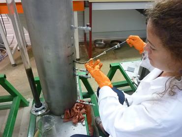
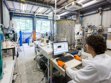
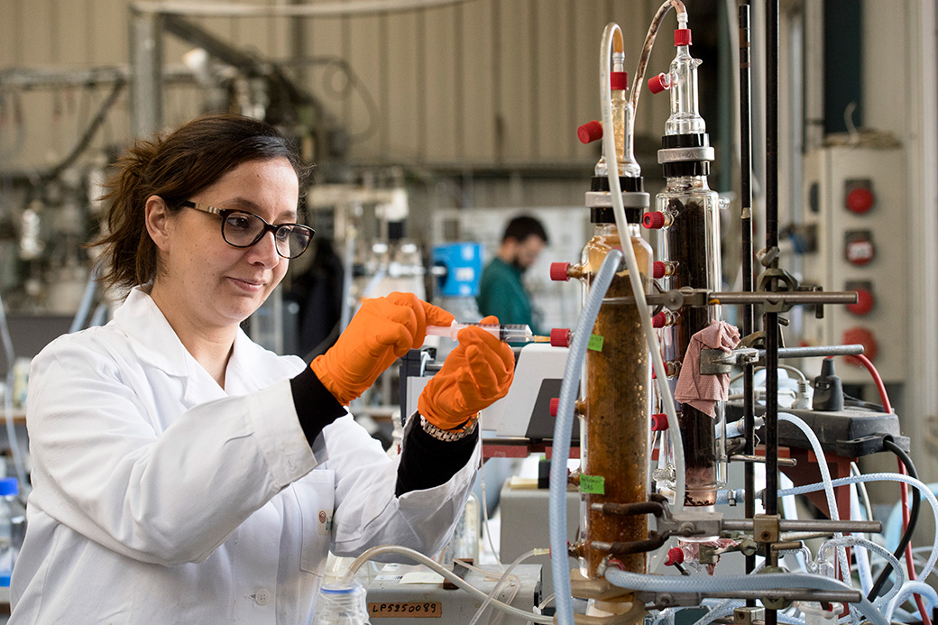
State-of-the-art laboratories and experimental platforms
As the first BRGM department on the Orléans-La Source site, the laboratories have never stopped carrying out their analytical activities on all fronts and for all environments: optical and electron microscopy, chemical analyses, isotope measurements. Their advanced equipment allows many applications in fields as varied as fundamental geology, rock dating, geothermal energy, the environment and water and soil quality.
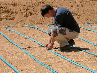
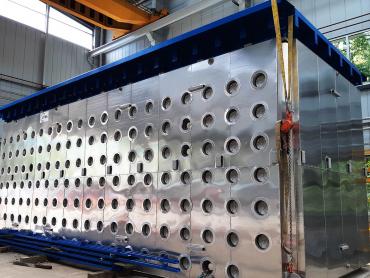
To support innovation and develop its experimental capacities, BRGM is also developing technological platforms at its Orléans site: a Geothermal platform to optimise the performance of geothermal exchangers, set up in 2008, the Plat'Inn platform for the development of the circular economy since 2018, the PRIME platform, whose construction is due to be completed in 2019, for the depollution of land, the sub-surface and groundwater.
A new scientific strategy presented in 2019
In 2019, BRGM reaffirmed its general positioning, combining research, support for public policies and innovation, in France and abroad and its new science strategy for the next 10 years, based on six major societal and economic objectives:
Geology and subsurface modelling
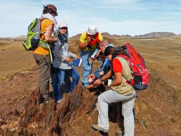
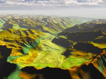
One fundamental task of BRGM, the French Geological Survey, is to produce authoritative and reliable information on the subsurface, to enable the sustainable management of resources and regions.
Groundwater and resource preservation
Faced with the challenges posed by climate change, one of BRGM’s core missions is to monitor and improve our knowledge of groundwater in order to anticipate its availability and ensure its quality.
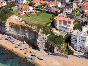
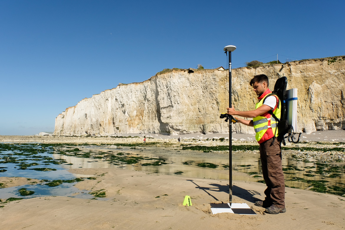
Risks linked to the ground and subsurface
For more sustainable spatial planning, BRGM is developing integrated approaches to the management of natural risks that have an impact on ground, the subsurface and the coastline, as well as risks resulting from human activity, linked to post-mining, polluted sites and soils.
Mineral resources and responsible supply
Confronted with increasing demand for mineral resources, BRGM is working to ensure a sustainable supply and a more circular economy.
Subsurface energy and decarbonisation
BRGM explores, assesses and exploits subsurface potential as an energy resource (geothermal energy) and as a space for storage (energy carriers, CO2) and confinement.
Digital technology for Geoscience
BRGM collects, hosts and disseminates geological and environmental data, which are also used as raw material for new science.