Publication of a new edition of the geological map of France
BRGM published a revised edition 6b of the geological map of France in 2003. This update was necessary as geological knowledge had evolved. At first glimpse, it looks identical to the previous edition, but if you take a closer look, you can see all the differences and the way in which this emblematic document was enriched. Let us look at the successive versions of the geological map of France and the scientific advances that were reflected in this 2003 edition.
The 6th edition was the distant heir of a map published in 1841 that looks the same and has relatively similar colours. The origin of the colours was due to an amateur geologist named Johann von Charpentier, who represented the different sectors of a map of Saxony in 1778 according to the colour of the rocks.
The first geological map of France was published in 1889. It was based on about 100 maps that had been produced at a scale of 1:80,000. The 2nd edition (1905) was based on 212 maps and the 3rd edition (1933) on 248 maps. The 4th edition (1955) was just an update, as was the 5th edition (1968).
In 1980, a geological map of France was published for the International Geology Congress in Paris at a scale of 1:1,500,000. It was a significant improvement because it was based on a 1:50,000 scale coverage of 63% of the territory. It also included isotopic datings and showed for the first time the geology of the continental margins. This map was accompanied by a 102-page explanatory booklet. There was to be no equivalent after that.
The 6th edition (1996) was based on an 85% coverage with maps at a scale of 1:50,000. This formidable synthesis document was coordinated by Jean Chantraine (BRGM), who drew on the work of more than a hundred geologists from BRGM, French and foreign universities and the geological survey organisations of neighbouring countries.
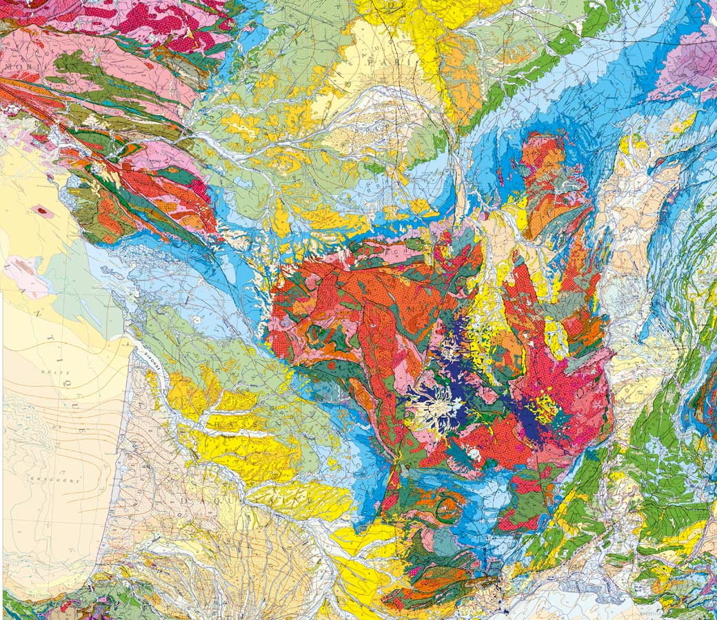
Scientific breakthroughs of the revised 6b edition
In 2003, BRGM published edition 6b of the geological map of France. This new enriched map represented the latest breakthroughs along with scientific information. These included, for example, representations:
- of the depth of sedimentary basins,
- of the Messinian canyons, corresponding to the almost complete drying up of the Mediterranean around 5.8 million years ago, whose existence was discovered in the 1970s,
- of the Rochechouart crater, the result of a gigantic impact in the Limousin region, whose significance was only understood in 1967,
- of the flint clay in the Paris basin,
- etc.
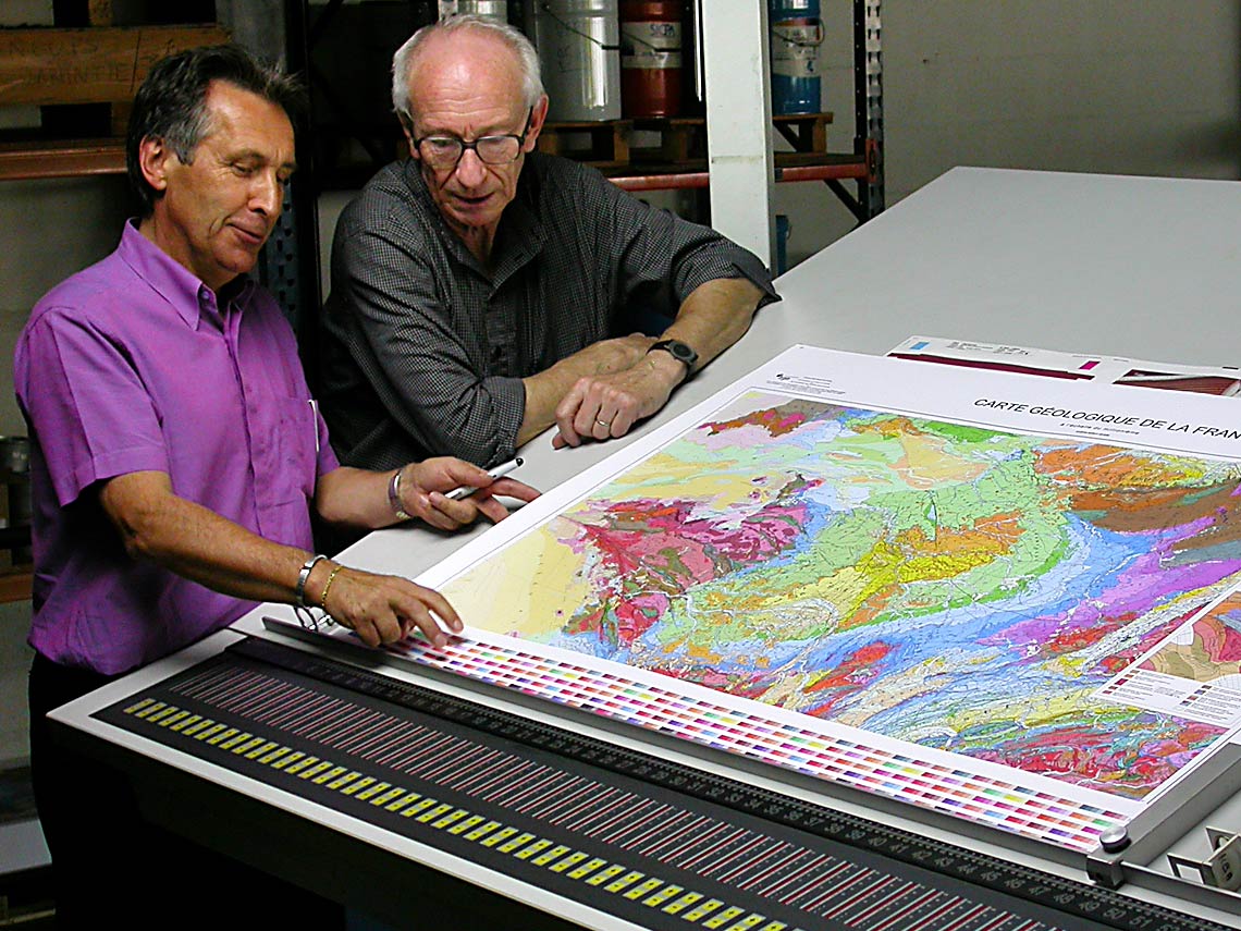
Unique printing
25,000 copies of this extraordinary document were printed on paper that was specially chosen for its stability and whiteness. This required the creation of 25 special inks selected for their purity and light fastness giving 400 different shades. As all the copies of the first edition were sold, it had to be reprinted in 2017.