Open science: BRGM is helping to disseminate knowledge
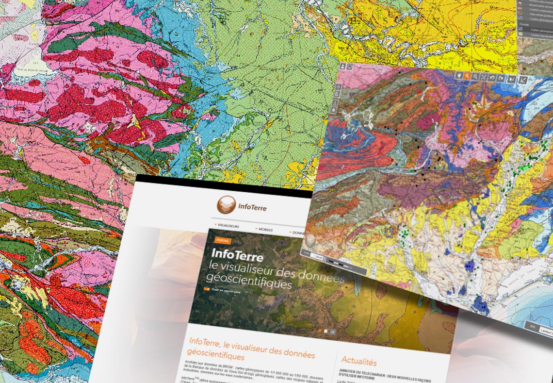
In line with its commitment under France’s open science plan, BRGM is providing free access to its geological maps of mainland France via the InfoTerre portal.
All data on underground structures across France, including boreholes, sounding surveys, wells and springs are collected and stored in a database on the subsurface, the Banque du Sous-Sol (BSS), which is structured and managed by BRGM.
The free accessibility of the BSS is in line with BRGM's new policy on open data and open knowledge, which is evolving with the requirements of the regulatory context concerning public data access, distribution and reuse in France and Europe. As the French geological survey, BRGM is committed in particular to the French open data plan. This plan aims to reduce barriers to the dissemination of scientific publications and research data.
Geological maps as key decision-making tools
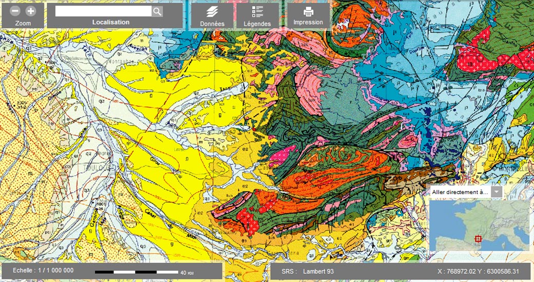
BRGM's geological maps of each mainland France département, vectorised and harmonised to the scale of 1:50,000, are now available for downloading free of charge from the InfoTerre portal. BRGM has also made the 1:1,000,000 geological map of mainland France available on InfoTerre.
Geological maps are essential aids to decision-making for government, spatial planning agencies and engineering consultancies in many fields of activity, including spatial planning, mineral prospecting, groundwater prospecting and protection, pollution control, natural hazard prevention and the characterisation of local areas. They are also key learning aids for geoscience teachers and for everyone looking to understand the world around us.
Other digital geological maps covering the French Overseas Territories (French Guiana, Mayotte, Guadeloupe, Martinique and Réunion) are also available.