Creation of the subsoils databank
Data maintenance has always been a key role for the BRGM. Creating a subsoils databank became essential to meet rapidly growing demand for data. Now used by players in many different fields, it contains data from nearly 800 000 boreholes and underground workings.
In 1971, the "Mining Code" department became the department for the subsoils databank (BSS). The very large volume of subsoil data to be handled soon demanded the design of a centralising system. This isn't a new story, because the BRGG, the BRGM's forebear, was set up as far back as 1941 to archive the subsoil data from deep petroleum and other boreholes.
Data available to all
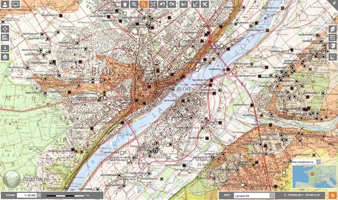
It was entirely natural for the BRGM to take up this role, and today, it continues to be responsible for collecting, processing and archiving subsoil data in a databank which is freely available to everyone through the InfoTerre internet portal for access to geoscientific data. The BSS now contains data produced over more than a century from nearly 800 000 boreholes and underground workings. Together with the geological map, the BSS forms the bedrock of today's knowledge on France's geology and minerals.
This database has become an essential source of information for anyone with an interest in the subsoil: its users are mainly engineering consultancies specialising in the water sector (for spatial planning and water management in particular), private individuals with plans for their property (installation of a heat pump for example) and students in the Life and Earth Sciences.