The BRGM and the French geological mapping service
In 1968, the BRGM expanded its activities when it merged with the French geological mapping service. Its responsibility for the entire map production process greatly enhanced their visual quality. The merger was a very positive development for the mapping service as well as the BRGM, and especially for careers and skills development at the BRGM.
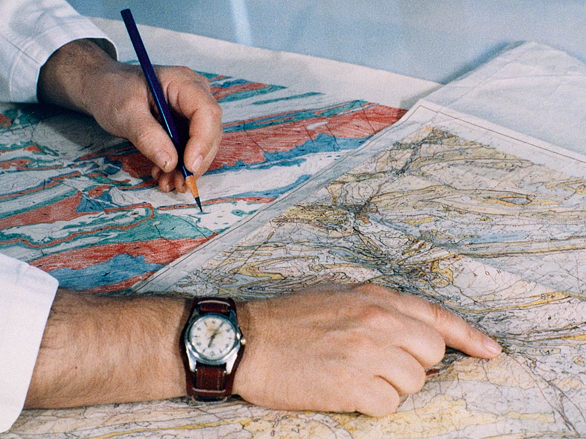
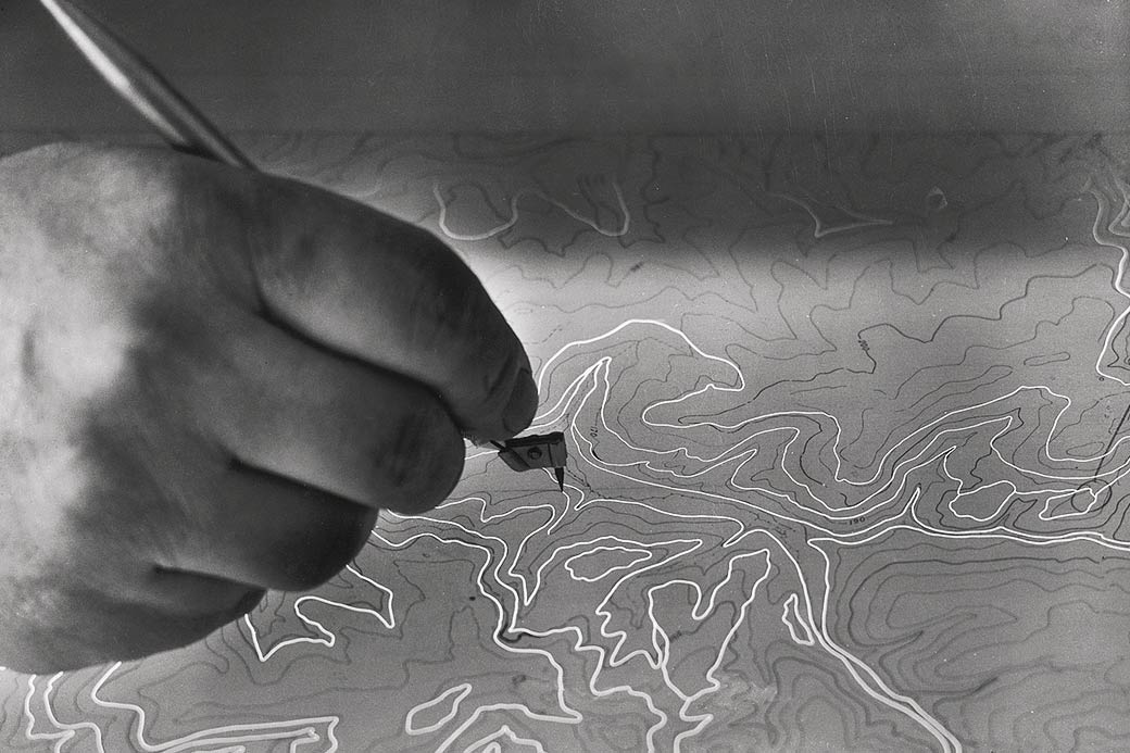
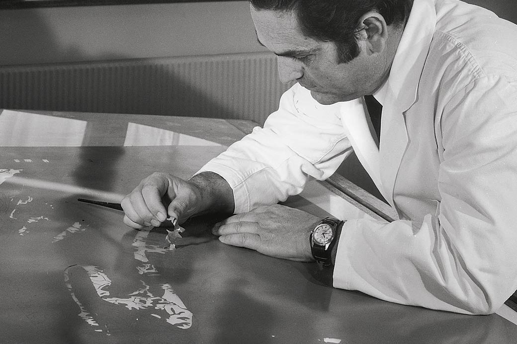
The BRGM and the French geological mapping service were merged under a government decree issued on 22 December 1967. This took effect on 1st January 1968, just one hundred years after Napoleon III established the geological mapping service. The entire map production process was taken on by the BRGM, from ground surveys to publication. At the time of the merger, the "modern" version of the geological map of France, to the scale of 1:50 000 and printed on a topographic contour-line background, was in its infancy: of the 1 060 maps that were planned to cover the whole of France, only 144 had been published. The only detailed geological map available, to the scale of 1:80 000 and on which work had begun a century earlier, was printed on a background that lacked precision, the relief being represented only by more or less dense hatching depending on the slope.
A virtuous merger
For many years, the geological mapping programme managed by the BRGM was France’s largest geosciences research programme in terms of human and financial means. The BRGM's geological mapping activities significantly strengthened its role in the French geosciences community, thanks to the joint efforts of its geologists, academic partners and external colleagues. The merger was a very positive development, both for the mapping service and the BRGM: it gave rise to one of the BRGM's most important divisions and the geological map itself was enhanced thanks to the BRGM's laboratory facilities and the contributions of its specialist staff. This programme was the outcome of sixty years of work by more than 3 000 geologists.
1968 - new version published
The BRGM published the 5th edition of the 1:1 000 000 geological map of France in 1968, to coincide with the centenary of the geological mapping service.