The BRGM space odyssey
The BRGM has become a major player in the field of remote sensing. Satellite technologies that capture data from space provide the BRGM with essential information for its planning work on risks, water or geology and key knowledge on environmental aspects to support its international contracts.
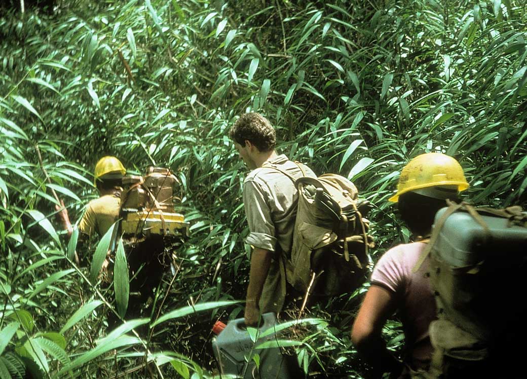
The BRGM became involved in space technology very early on because of its needs for topographic and geological coverage over vast areas of interest in Africa. In the 1950s, these needs were expanded into fields such as planning, risks of all kinds and water resources. The creation of the French Space Agency, CNES, in 1962 enabled France not only to share in the processing of existing Landsat data, but also in the design and launch of the future European satellites. The BRGM was one of the leading players involved in the experimentation campaigns prior to the launch of the Spot satellite. Its projects in tropical forest zones were particularly relevant to the development of these techniques.
Increasing accuracy with the Spot satellite
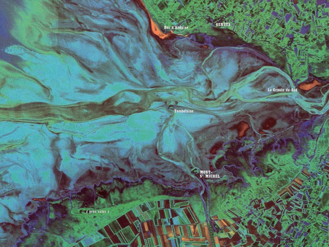
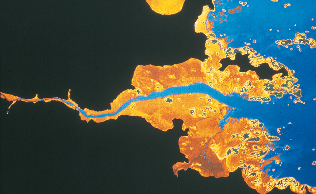
The advent of Spot, stereoscopic imaging and 10m resolution greatly increased the number of data products and applications based on satellite imagery, in areas that included agronomy, geobotany, fracturing, geomorphology, land movements and many more. These applications were exported through major contracts to Oman, Saudi Arabia and Africa. The launch of Spot 5 in 2002 brought even greater accuracy, with spectral radiometry and 5m resolution. Meanwhile, the BRGM was routinely coupling satellite imagery with geographic information systems (GIS) to develop its geological data products.